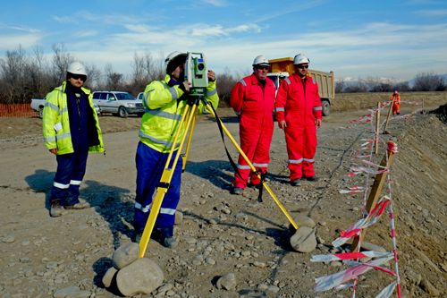
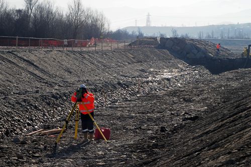
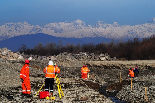
Survey (Topographical & Geotechnical)
Accurate land and subsurface surveys that support confident project planning, design, and regulatory compliance.
Survey (Topographical & Geotechnical)
Description
Directions
- Topographical Site Surveys
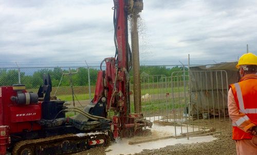
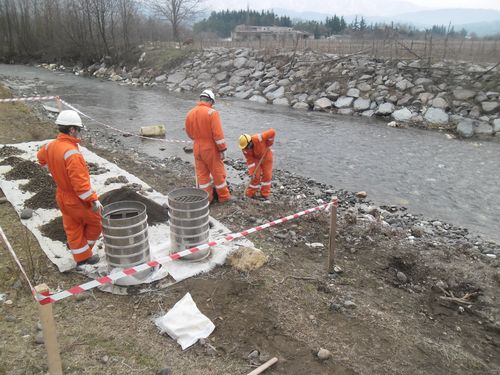
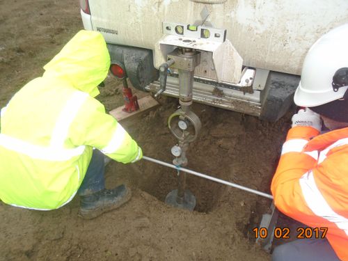
- Geotechnical Soil Investigations
- Elevation and Alignment Planning
- Road, Railway, and Pipeline Corridor Surveys
- Marine and Port Area Surveying
- Volume Calculations and 3D Terrain Modeling
- Survey Support for Construction Staging
- Survey Reports for Permitting and Engineering Design
- Drone and GPS-enabled Mapping Capabilities
Gallery
Looking for partnership at Survey (Topographical & Geotechnical) projects?
Partner with IDC to bring your next infrastructure, energy, or industrial project to life. With decades of proven experience and a commitment to quality, safety, and precision, we’re ready to help you achieve outstanding results.
Get in touch